![]()
COURSE DESCRIPTION
The course includes practical training on selected issues of community urban issues with the focus on data collection, storage, analysis and presentation using Geographic Information Systems (GIS). The course also includes applications of theoretical and practical knowledge of spatial analysis.
COURSE OBJECTIVES
The main objective of the course is to strengthen the theoretical knowledge and developing the practical sense of spatial analysis. Students are expected to gain the necessary knowledge and techniques about different types of spatial data analysis. In addition, students are expected to apply knowledge gained in a community based project.
PROJECT
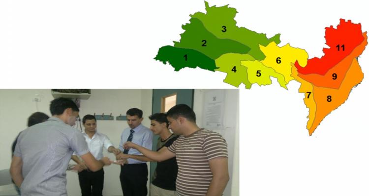
Mapping Nablus City for Earthquake Evacuation
Although the last destruction earthquake happened in Palestine was in the twenties of the last century, Palestine is still classified as an active earthquake area. This project will take Nablus city to build a database including data about the buildings and their spatial distribution within the city boundaries.The data will include the number of floors in each building, the data of construction, the structural status of the building, the distance to the nearest street, the width of streets serving the neighborhood where each building exists.
This database will be used to build an interactive map showing the expected closure in the road network at a given earthquake level measured on Richter scale. The output of this project can be used as a guideline for the firemen, ambulances and municipality teams during the evacuation process after the crises happens. It can be also used by the planning department as a guideline to direct the development and to impose restrictions in areas of high risk to be closed.